Flood policy evaluation, retention pond effectiveness in South Bandung
Indonesian cities rely on retention ponds to reduce floods. Yet cities rarely measure their effect rigorously before building more of them at scale.
The number of ponds built is often used as a stand-in for actual results. That is weak evidence. Rainfall, upstream changes, and expanding paved areas also affect flood rates. A simple before-and-after comparison can credit the ponds for changes caused elsewhere. City-wide policy requires evidence that separates the intervention from these other causes.
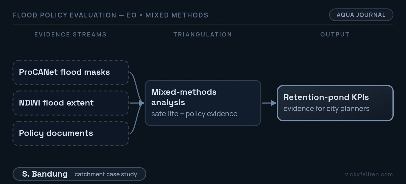
We combined ProCANet flood segmentation with NDWI flood maps across South Bandung catchments. We then paired the satellite results with policy document analysis. This produced quantitative evidence of flood extent before and after pond construction.
The study turns pixel-level satellite results into policy measures that city planners can use to judge flood projects.